Phosphate Testing
Dore Citizens Science Catchment Report
June 27th – Sept 06th 2021
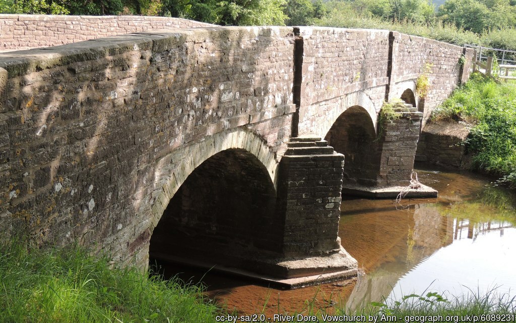
The River Dore (‘the river of gold’) rises in the foothills of the Black Mountains, on the Merbach Hills, a series of 4 springs along the hills, close to the border between England and Wales. It flows for 12 miles through the villages of Dorstone, Peterchurch, Vowchurch, Abbey Dore and Pontrilas, before reaching the Monnow near Llangua. The Upper reaches of the River Monnow flow south in a steep sided valley from its source through the villages of Craswall, Longtown and Clodock, following the border between Wales and Herefordshire and turning to flow in an easterly direction at which point the Monnow becomes a designated main river. The Monnow itself is a tributary which flows into the River Wye at Monmouth. The river is noted for its fishing, including trout and grayling. In 2006, the Game & Wildlife Conservation Trust initiated a programme to clear the river of invasive mink, and repopulate it with water voles. The Westbrook, part of the Dore catchment, running along the base of the Merbach Hills, runs directly into the Wye.
The upper reaches of the River Dore and Pont-y-Weston Brook flow east and south where the watercourses confluence at Dorstone, continuing south at which point the River Dore becomes a designated main river north of Peterchurch. The Dulas Brook flows south parallel to the River Dore from its source close to Middle Maes Coed, through Ewyas Harold and along with the Worm Brook discharging to the River Dore near Pontrilas.
A team of volunteers, mainly representing residents of the Golden Valley and working as part of the Wye Salmon Association Citizens Science Water Quality Monitoring Team, supported by the Cardiff University citizens Science Initiative, concerned over the impacts of agricultural development on their glorious river and its flora and fauna, have since mid-June 2021, been monitoring the Dore and its tributaries.

